
Nam Kap Dam Hydropower Info - by Hobo Maps - Go to Hydropower Projects Page - - - HOME
Nam Kap is sometimes also spelled Nam Karp.
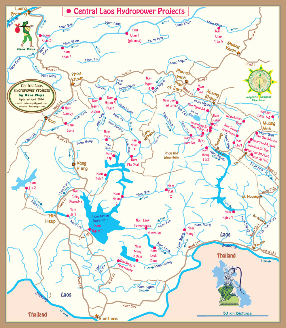
Nam Kap Hydropower Project is located near Ban Naty, Long Chieng district of Xaysomboun province, Lao PDR about 35 km northeast of Vang Vieng town (by straight line).
Nam Kap hydropower project location is shown below at coordinates - 19°01'36.8"N 102°44'29.7"E (19.026889, 102.741595).
The project is a run-of-the-river hydropower type.
Installed capacity is 12 MW (2 x 6 MW) with up to 54 GWh power output annually.
The project started a few years ago but there was a delay in construction. The project is back under construction and in 2024 looks to be close to completion.
Due to these delays we aren't sure who the project owner and developer currently are since it seems there were changes to get things back on track. Phongsubthavy Group filed a CDM document in July 2019 on behalf of the project and is most likely the developer.
FM Construction Sole Co. Ltd. was involved with the restart of construction.
Nam Kap Dam image below during construction in 2023 before impoundment.

Nam Kap hydropower project site satellite image below:

The project includes fixed weir, sandtrap, intake, headrace canal, headrace tunnel, forebay, penstock, powerhouse, switchyard and a tailrace.
The penstock diameter goes from 1.7 meters to 1.3 meters closer to the powerhouse.
The power generated will be delivered to Electricite Du Laos (EDL) through a 115 kV single-circuit transmission line.
Nam Kap HPP satellite images below also show a nearby mysterious project about 2 km above Nam Kap main facilities that may or may not be part of the Nam Kap project. Please help clear this up if you can by email to us at Hobo Maps.

Mystery project below at coordinates - 19°02'03.3"N 102°44'34.2"E 19.034250, 102.742833 .

Nam Kap Powerhouse site image below at coordinates - 19°01'08.8"N 102°44'59.0"E (19.019111, 102.749722):

Nam Kap Dam & Reservoir satellite image below at coordinates 19°01'07.1"N 102°43'49.9"E (19.018639, 102.730528):

Nam Kap project area images below:


Nam Kap weir image below:


Nam Kap powerhouse image below:

Nam Kap tailrace image below:

Nam Kap control images below:


Nam Kap generator images below:


Nam Kap spiral case design below:

Nam Kap 115 kv Switchyard image below:

Nam Kap construction images below:


Nam Kap apparatus image below (flood gates?):

Nam Kap flood gate image below:

Nam Kap site below:


Nam Kap hydropower project shown in mid section of our Central Laos map below:
On July 26, 2019 the Phongsubthavy Group filed a CDM document to qualify the Nam Kap Hydropower Project for certain credits under the Kyoto accords. You can download a copy HERE.